|
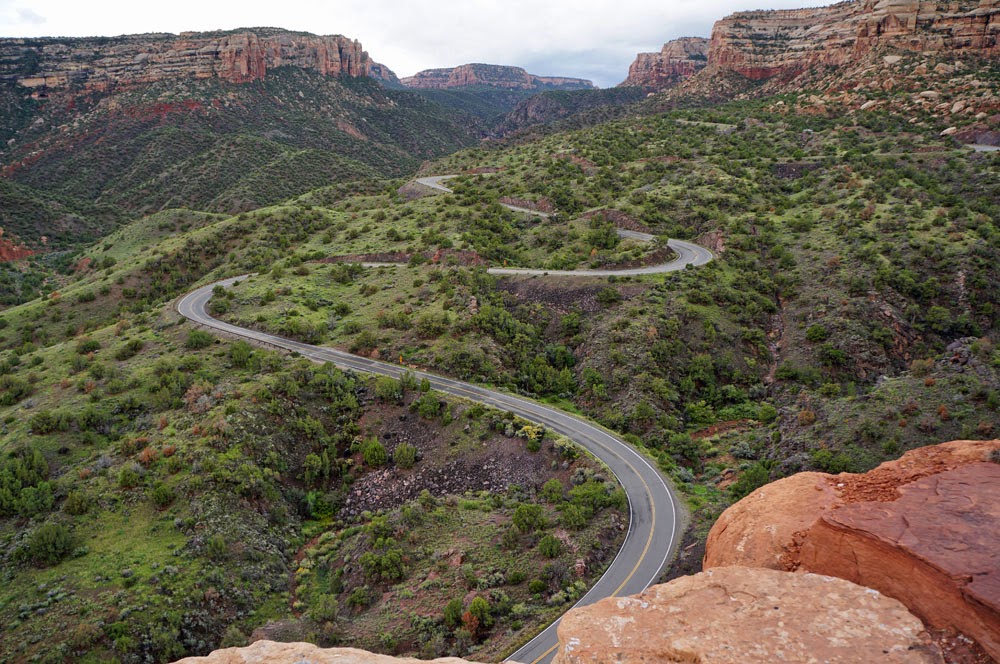
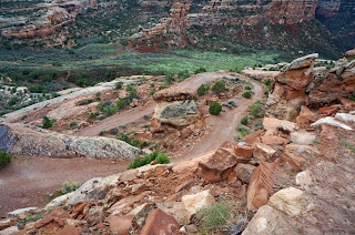
Rim Rock Drive in Colorado
National Monument |
Back when unemployment was twenty-five percent and money seemed
all gone—we’re talking Depression here—FDR established the CCC to spend money the
nation didn’t have on things people didn’t need for the most part, and to put men
back to work. So it was that a minor road
from Grand Junction, known as the Crookedest Road in the World, was replaced
with a tourist highway called Rim Rock Drive in Colorado National Monument.
 |
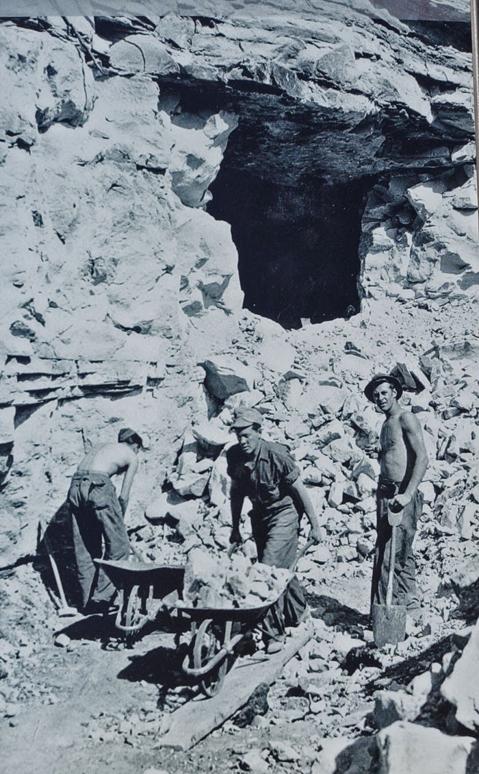
CCC workers in the
Depression |
 |
| The same place today |
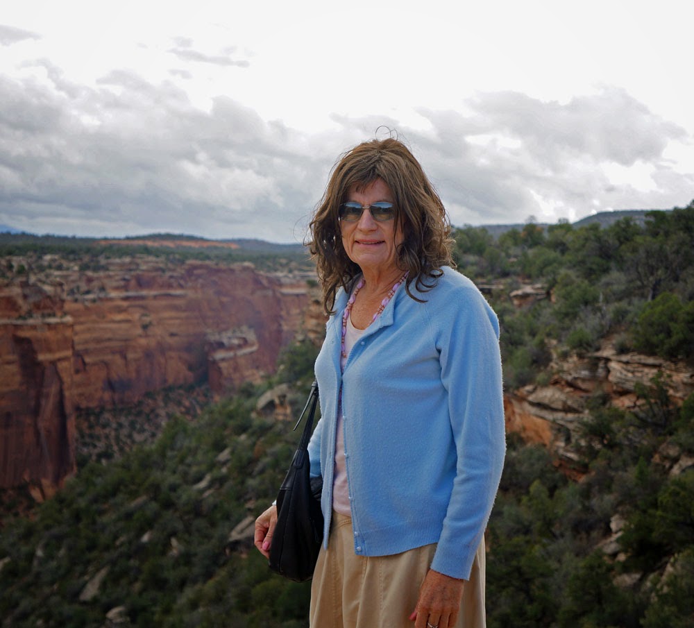
And I, a beneficiary, drove its curves and tunnels today without
incident, and walked in otherwise inaccessible beauty. Of course, the whole idea seemed ludicrous to
conservatives back in the thirties—no relationship to today’s monetary issue.
 |
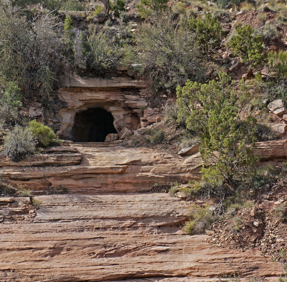
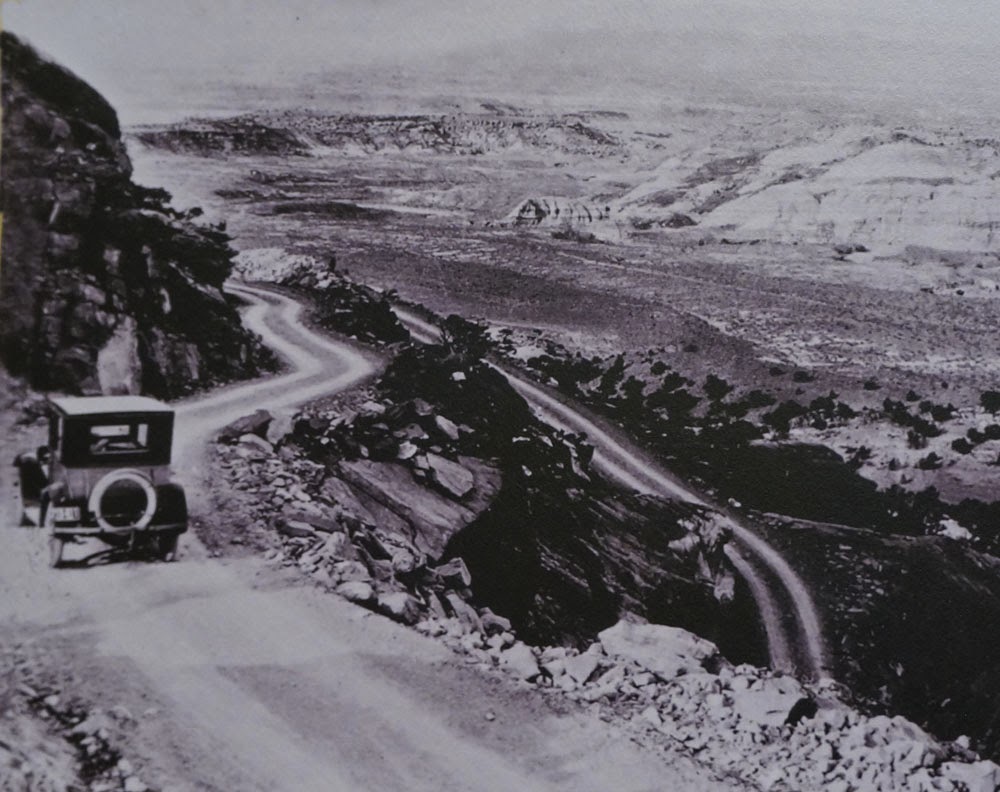
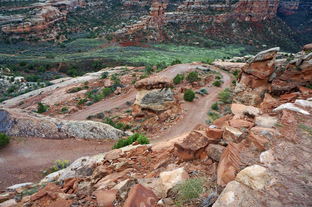
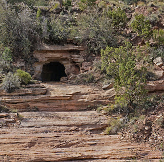
| Serpent's Trail in the 1920's |
 |
| Serpent's Trail today |
Serpent’s Trail, as the road was called before the Depression, is
still there in remnants, as I walked part of it today. Construction began in1912, completed in 1921.
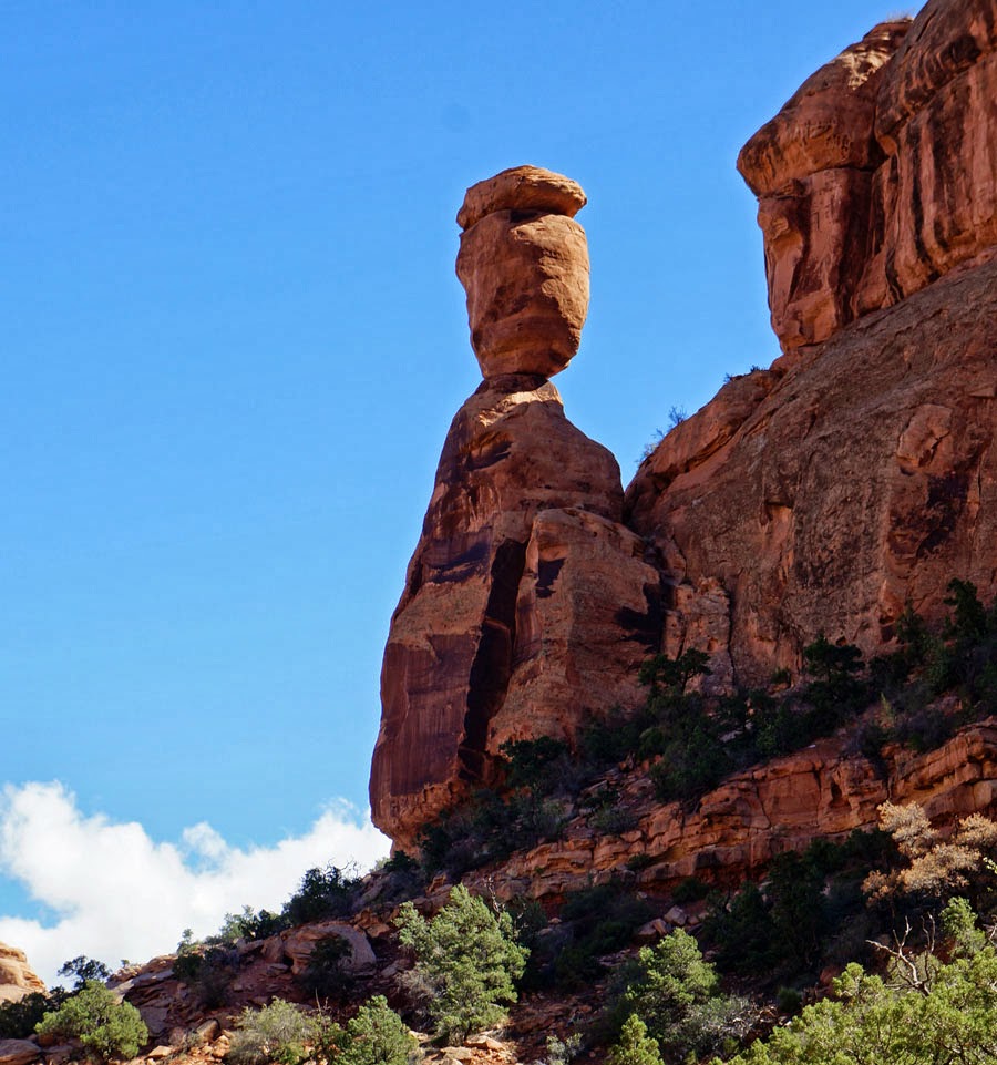
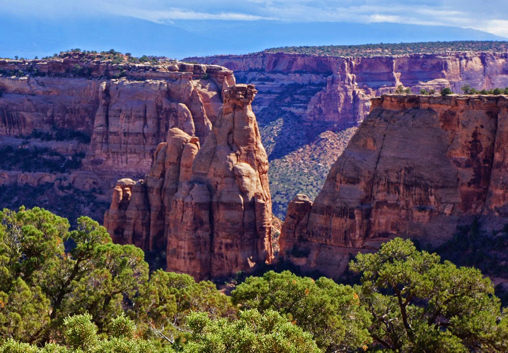
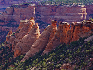
How does a rock weighing many tons stand upright on its point
without a Ventura artisan placing it there, perfectly balanced?
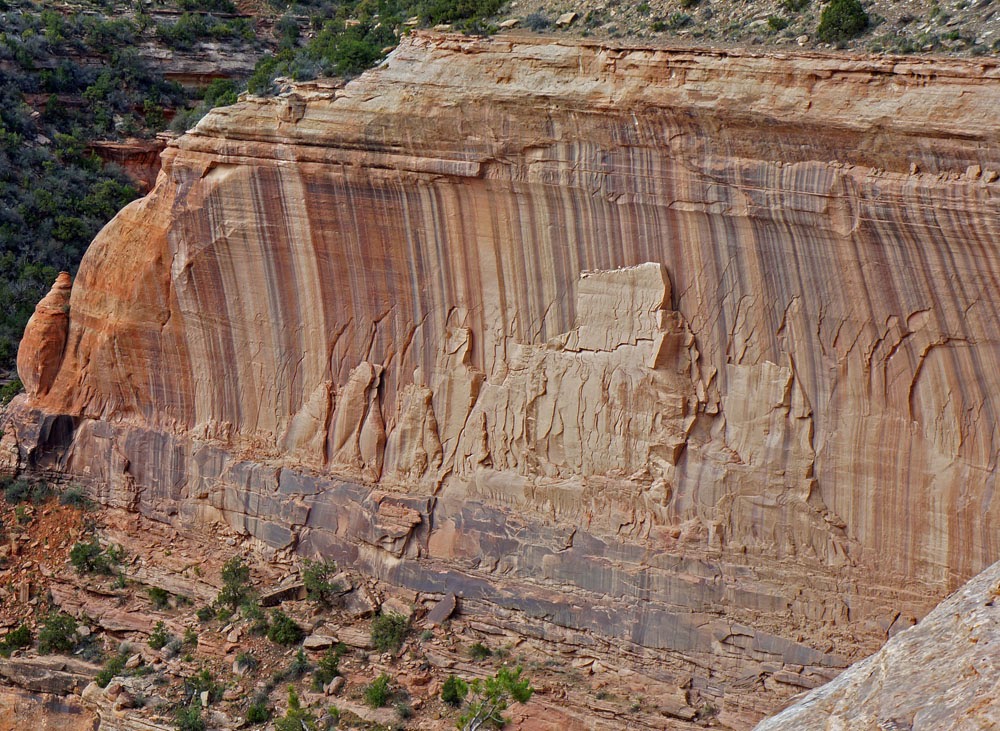
Here we have an ancient sculpture in sandstone, about three
hundred feet high and adorned with a backdrop of variegated stripes. The subject is clearly some ceremony where
people gather before a dignitary on a higher seat. Some say the dark brown stripes are streaks
of desert varnish—iron, manganese or clay deposited by water, but the ancient
artist did not know those words. The white
stripes, they say, are calcite coating which precipitated from seeping water.
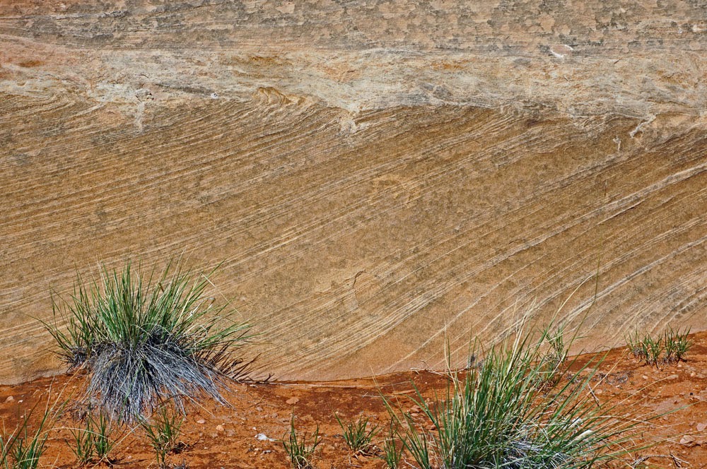
I see waves lapping on a beach in this sixty-million-year-old
sandstone. But since nobody believes
that waves solidified into rock, geologists say it was windblown sand.

.

.

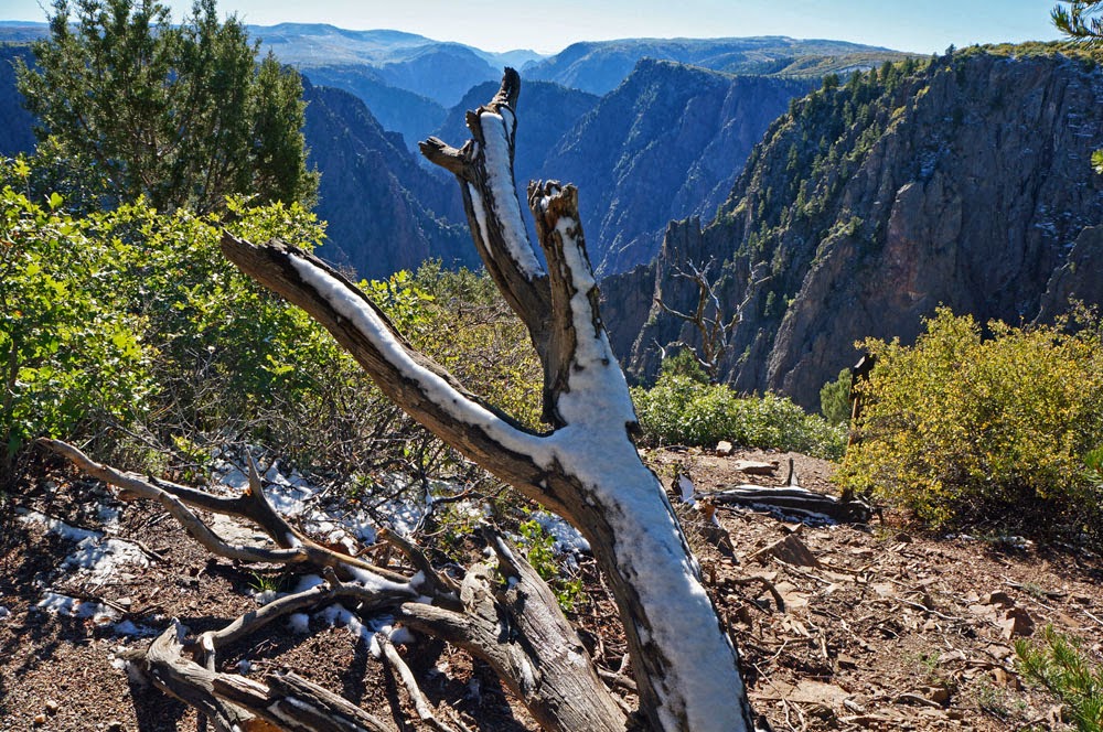
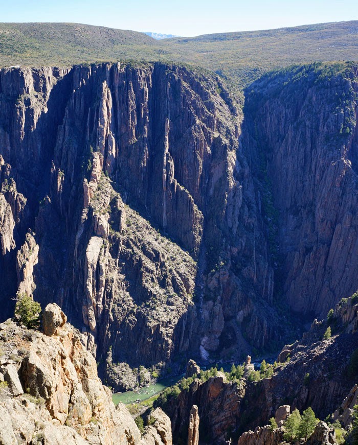
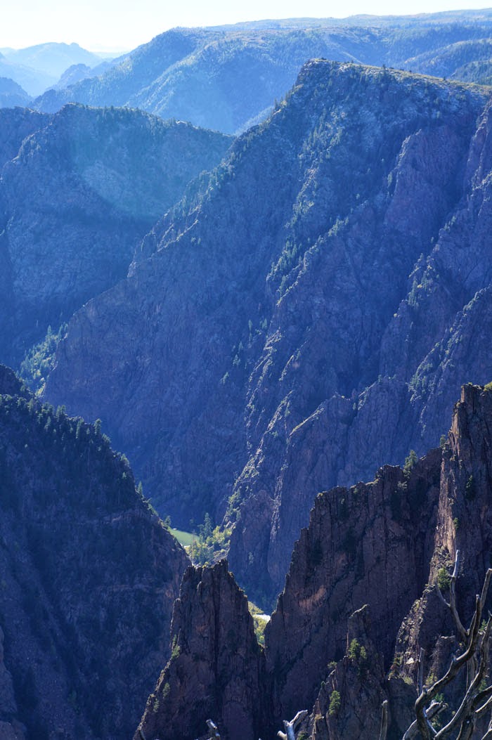
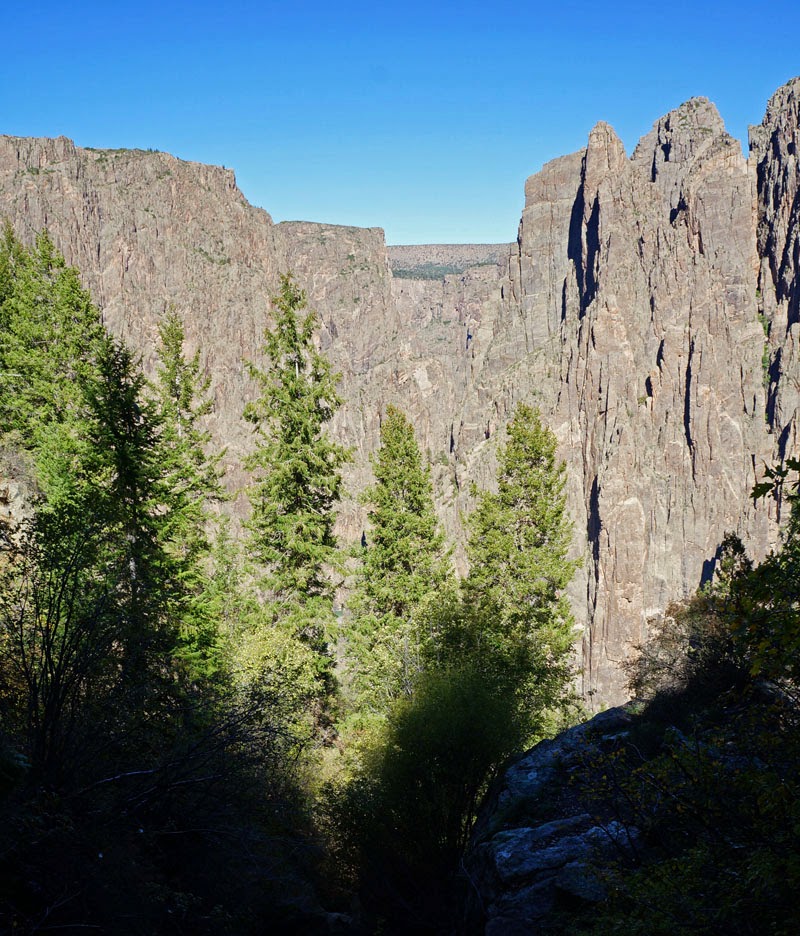
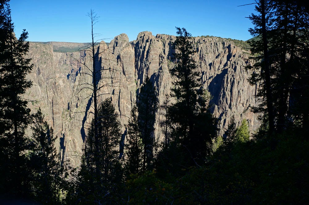
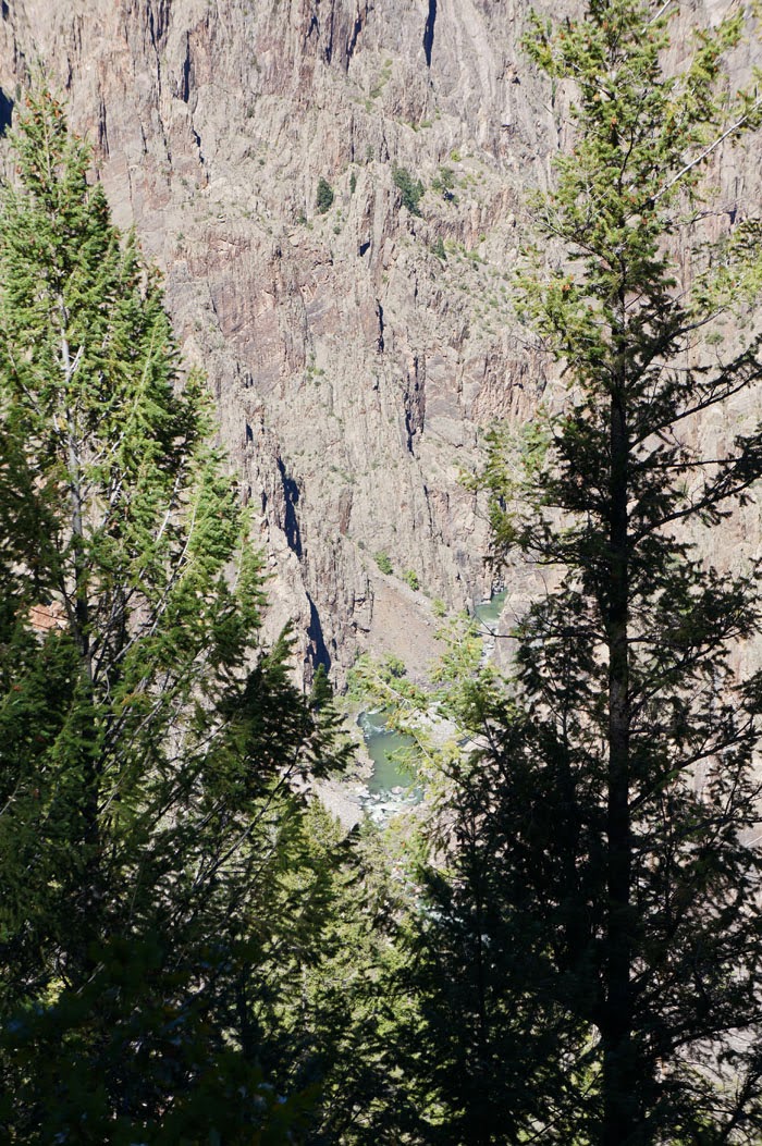
 From the Black Canyon of the Gunnison River, I traveled east
over Monarch Pass to Salida, then north to Leadville, and east to Denver for a
visit with friends. Today I drove to my
destination at Grand Lake on the south edge of Rocky Mountain National Park.
From the Black Canyon of the Gunnison River, I traveled east
over Monarch Pass to Salida, then north to Leadville, and east to Denver for a
visit with friends. Today I drove to my
destination at Grand Lake on the south edge of Rocky Mountain National Park.
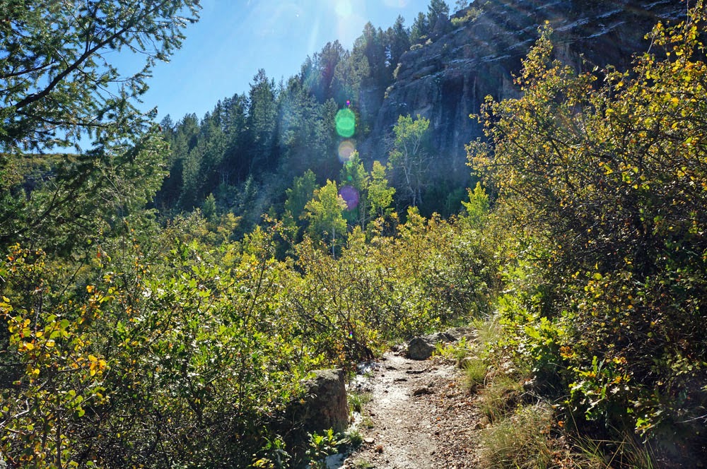
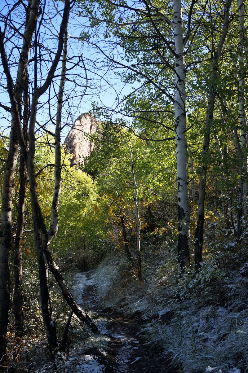
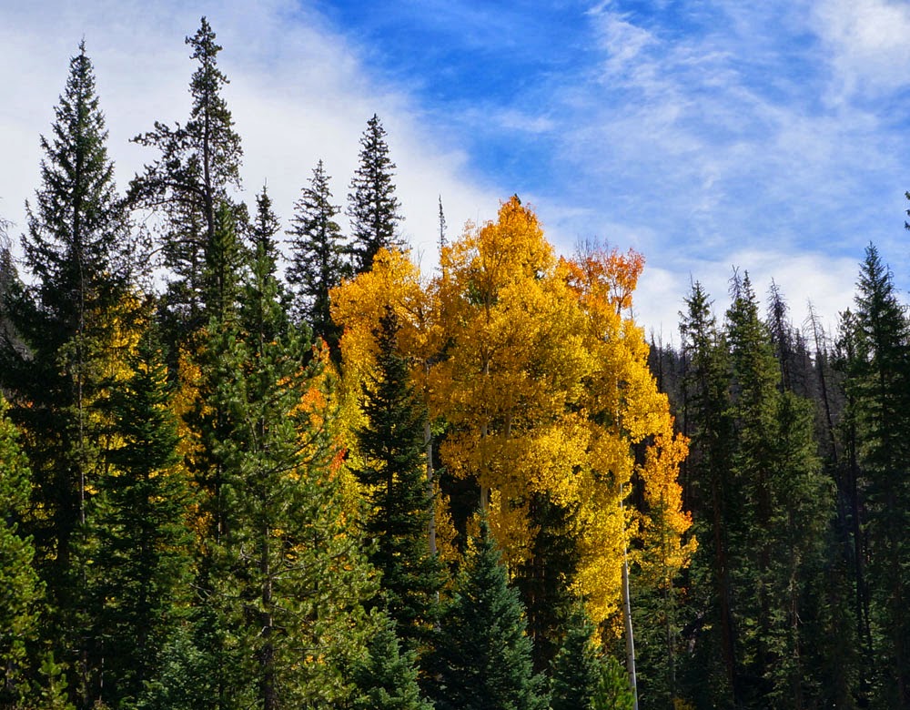
 My timing was perfect for the long drive through Colorado. Aspen trees, in their few days of brilliant
glory before they close down for the winter, dotted the hillsides, punctuating the green conifers. Sometimes an entire
grove of flaming yellow nearly sent me off into a canyon. I kept stopping, pulling over to take pictures
and occasionally watching trees at the expense of safety. But I arrived without mishap at Grand Lake,
and am settled into a small cabin for ten days.
My timing was perfect for the long drive through Colorado. Aspen trees, in their few days of brilliant
glory before they close down for the winter, dotted the hillsides, punctuating the green conifers. Sometimes an entire
grove of flaming yellow nearly sent me off into a canyon. I kept stopping, pulling over to take pictures
and occasionally watching trees at the expense of safety. But I arrived without mishap at Grand Lake,
and am settled into a small cabin for ten days.

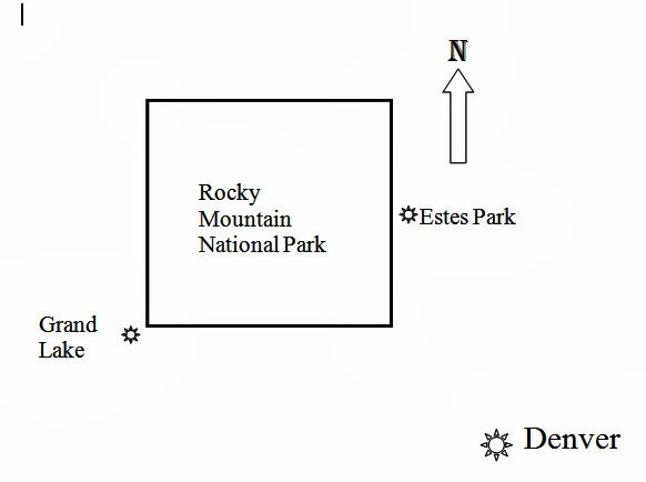
 I came here, as most of you know, because the east side of the
Rockies was badly flooded a week before I left home. Otherwise I would be in Estes Park on the
other side of the mountains. I diverted
to the west side intending to hike the backcountry from trailheads along Trail
Ridge Road, which connects Estes Park and Grand Lake.
I came here, as most of you know, because the east side of the
Rockies was badly flooded a week before I left home. Otherwise I would be in Estes Park on the
other side of the mountains. I diverted
to the west side intending to hike the backcountry from trailheads along Trail
Ridge Road, which connects Estes Park and Grand Lake. 
 Estes Park, having lost its eastern access roads, relies on Trail
Ridge Road. But that makes no difference
to congress, and tonight the road will be closed indefinitely due to shutdown
of the federal government. It seems I
was shut out of the eastern approach to the high country, and am now shut out
from the western side also, thanks to the utter failure of our elected
lawmakers to do anything. Others will
suffer from this incompetence much more that I will.
Estes Park, having lost its eastern access roads, relies on Trail
Ridge Road. But that makes no difference
to congress, and tonight the road will be closed indefinitely due to shutdown
of the federal government. It seems I
was shut out of the eastern approach to the high country, and am now shut out
from the western side also, thanks to the utter failure of our elected
lawmakers to do anything. Others will
suffer from this incompetence much more that I will.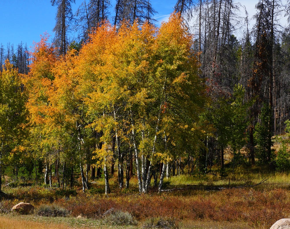
 Tomorrow I will hike one of the many trails that do not require
driving on Trail Ridge Road. Please do
not send flowers, I will be fine.
Tomorrow I will hike one of the many trails that do not require
driving on Trail Ridge Road. Please do
not send flowers, I will be fine.